 |
||
|
|
||
|
Page Title:
TAble 1. Summary of CDFs with Containment Features (after Palermo and Averett 2000) (cont.) |
||
| |||||||||||||||
|
|
 ERDC TN-DOER-C18
August 2000
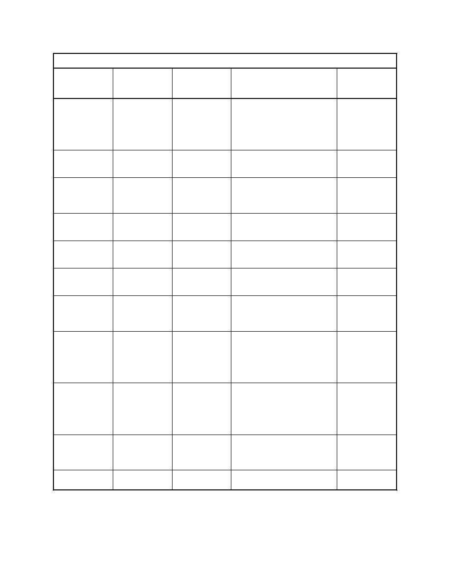
Table 1 (Concluded)
CDF Site
Name/
Setting/Size/
Containment
Location
Capacity
Feature
Comments
References
Minamata Bay,
Surface cover
Fiber cloth, net of ropes
PIANC (1997);
Japan
hand-placed from boats,
Kumanoto
compacted by an 80-cm sand
Prefecture (1998)
layer placed hydraulically, 1-m
layer of volcanic ash soil, spread
using dozers
Mission Bay,
Nearshore
Cover
Clean topsoil cover
Public Works
Thunder Bay,
multi-cell
Canada (Ontario
Ontario Canada
81 ha
Region) (1991)
Monroe Harbor,
Nearshore
Dike layer
Grout mattress with clay seal
Personal
MI
layer
communication,
Doug Zande,
Detroit District
New Bedford
Nearshore;
Liner/cover
Synthetic liner; synthetic cover
Otis (1994)
Harbor, MA
Superfund
for volatiles control
7,600 cu m
Parrot's Beak
Upland
Dike liner, dike
2-mm HDPE liner; 100-mm
Rotterdam Port
Rotterdam,
40 ha
core
leachate collection pipes at 50-m
Authority (1986)
The Netherlands
spacings
Penns Grove, NJ
Upland
Slurry wall
Bentonite, 9-18 m (30-60 ft)
USACE
136 ha
depth, 3,400 m (11,000 ft) total
Philadelphia
length
District (1981)
Sitcum/Milwaukee Nearshore
Cover
Selective placement below water
Gilmur and
327,000 cu m
level; Surface cover, clean
Saathoff (1994)
Waterway,
Tacoma, WA
dredged material, 2 m (7 ft)
thickness
Sunny Point, NC
Upland
Slurry wall
18 m depth
Personal
communication,
Mr. Les Wyatt,
USACE
Wilmington
District
Terminal 3,
Nearshore
Cover
Sand and gravel layer placed by
Boatmand and
Seattle, WA
conveyor and dozers
Hotchkiss
(1997);
Converse
Consultants
(1992)
Consorzio
Tresse Island
Reconstructed
Liner/cover
Polyurethane-sealed sheetpile
Venezia Nuova
cutoffs to -10 m; partial dredged
Venice, Italy
solid waste
material liner; partial bentonite
(1997)
landfill
slurry wall to -8 m
Waukegan
Nearshore
Cutoff walls
Double sheetpile cutoff wall and
USEPA GLNPO
Harbor, IL
Superfund
clay slurry wall
(1998)
6
|
|
Privacy Statement - Press Release - Copyright Information. - Contact Us - Support Integrated Publishing |