 |
||
|
|
||
|
Page Title:
Figure G3. Map showing WIS locations relative to the Mud Dump site |
||
| |||||||||||||||
|
|
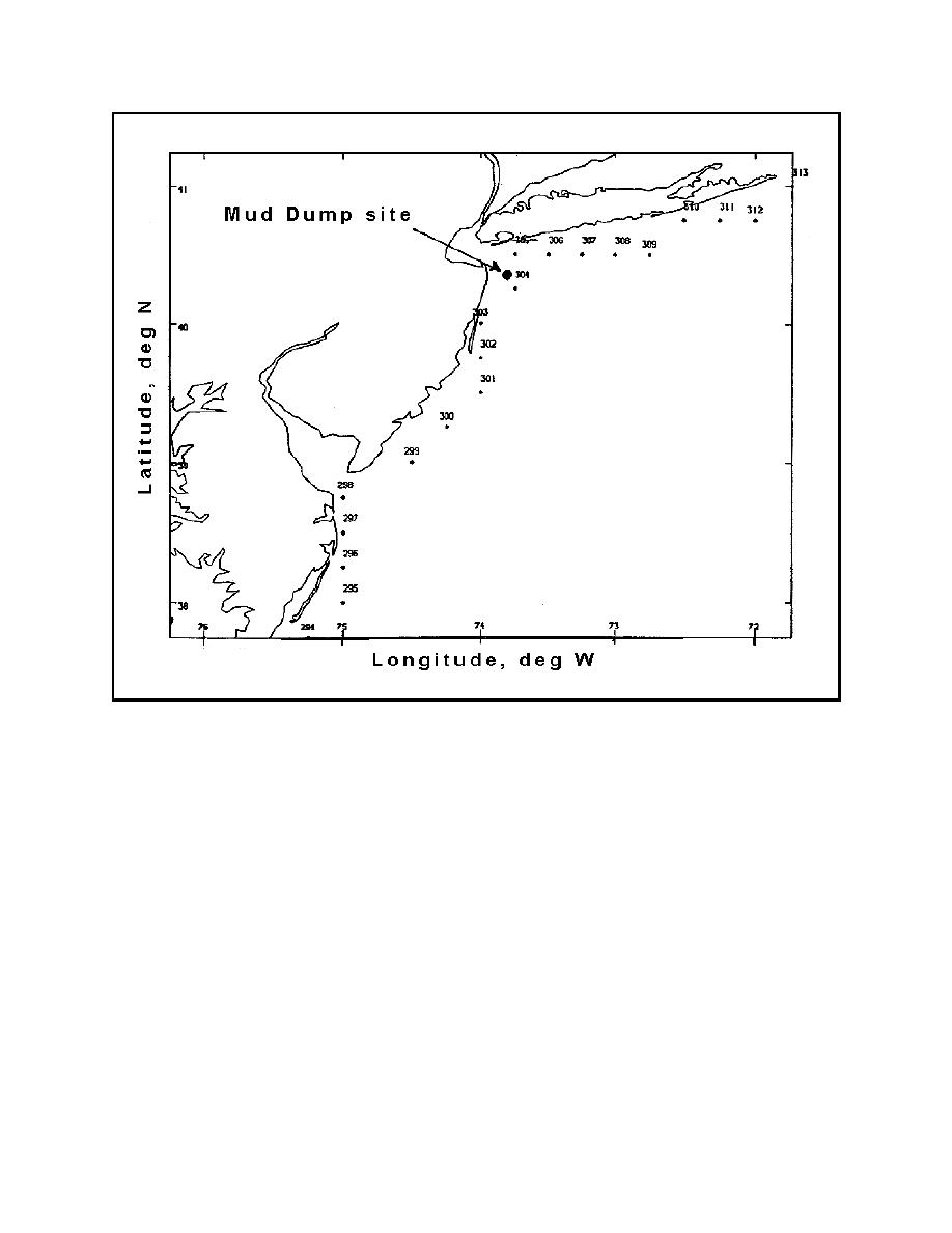 Figure G3. Map showing WIS locations relative to the Mud Dump site
To convert the surge current values from the database location to the disposal
site, the mean depth at the two locations is determined. The surge current values
should then be assumed to be proportional to the relative depths at the two sites.
A mean depth for the Mud Dump site was determined to be approximately 83 ft;
therefore, the DRP-generated surge current hydrographs were adjusted according
to the criteria that Q=VA=Const; therefore, VMud = V304*108/83.
Sixteen tropical storm events were retrieved from the DRP archives that
impacted the location of DRP Station 304 (Mud Dump site) according to the
criteria described above. Sixteen tropical storm events in 104 years of record
correspond to an annual frequency-of-occurrence of 0.15385 events per year (or
one event every 6.5 years). These events are shown in Table G1.
G9
Appendix G Procedures for Conducting Frequency-of-Erosion Studies
|
|
Privacy Statement - Press Release - Copyright Information. - Contact Us - Support Integrated Publishing |
