 |
||
|
|
||
|
Page Title:
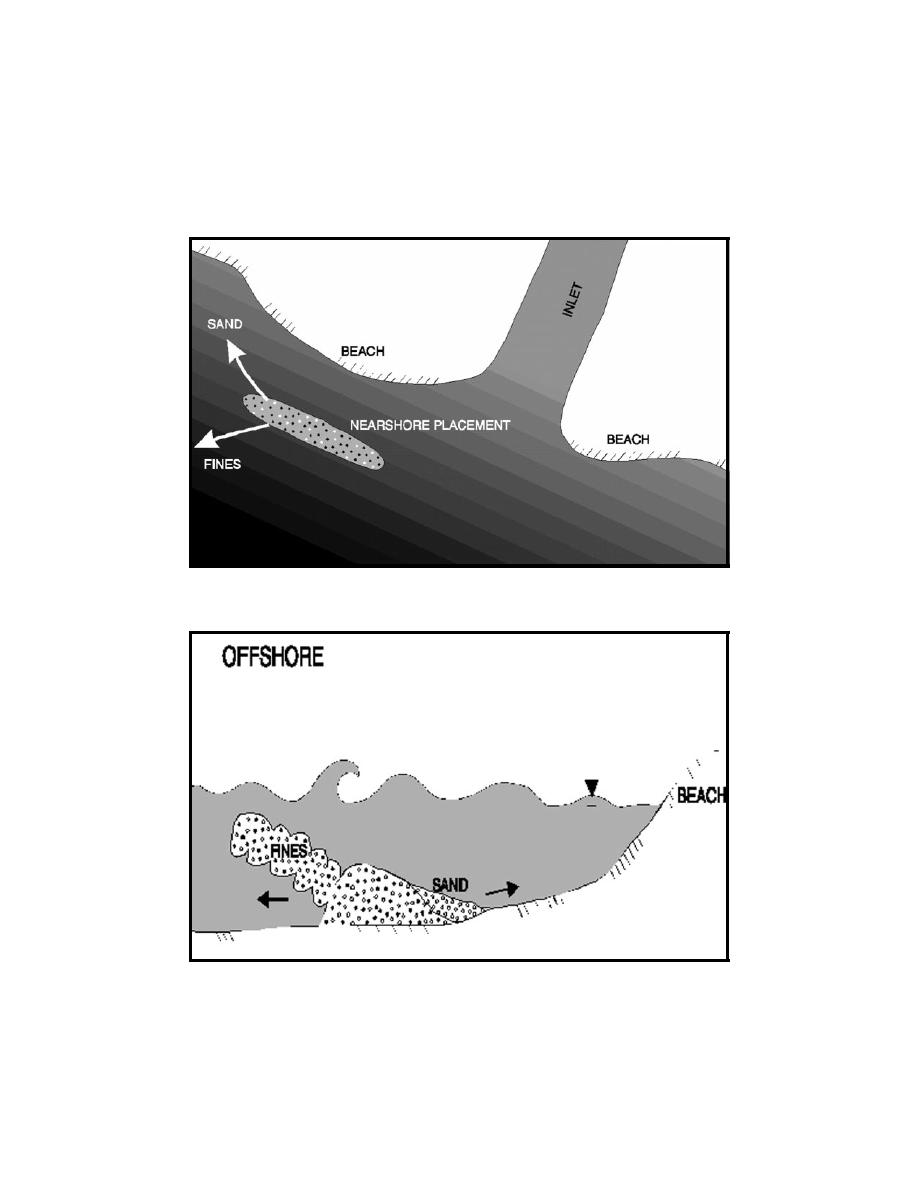
Figure 1. Illustration of nearshore placement (overhead view) |
||
| |||||||||||||||
|
|
 Technical Note DOER-N3
March 1998
By way of example, the U.S. Army Engineer District, New Orleans, pumped fine-grained sands
and silts from the Mississippi River-Gulf Outlet Navigation Channel to the nearshore of Breton
Island to create a sacrificial feature approximately 7 ft high in 15 ft of water that persisted for
2 years (Williams and Mathies 1996). Figures 1 and 2 illustrate a nearshore feature as viewed from
Figure 1.
Illustration of nearshore placement (overhead view)
Figure 2.
Illustration of nearshore placement cross section
3
|
|
Privacy Statement - Press Release - Copyright Information. - Contact Us - Support Integrated Publishing |
