 |
||
|
|
||
|
Page Title:
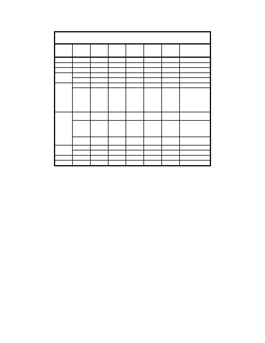
Table 2. Current Measurements and Locations |
||
| |||||||||||||||
|
|
 Table 2
Current Measurements and Locations
River
Velocity
Velocity
Easting
Northing
Stage
Date
Time
Max, ft/s
Avg, ft/s
ft
ft
ft MLG
Comments
5 June
1300
7.0
6.1
5.0
6 June
7 June
8 June
0850
3.0
5.4
1700
4.2
5.6
9 June
0800
3.9
3.0
5.5
1539
5.1
3.9
243276
3944105
5.5
Taken from
stationary
dredge/survey
configuration from
CL of channel
prism #2
10 June
1035
5.0
3.5
243921
3944055
5.9
CL of channel off
gantry
1025
4.0
3.4
243925
3943751
5.9
Range 300 of stbd
bow (approx due
west from CL
reading off gantry)
1445
6.1
5.3
244185
3943971
5.5
Range 88,
Sta 49+97
11 June
0720
3.5
2.7
244730
3943227
5.5
Off gantry
1641
6.3
5.3
243435
3944100
5.3
Off gantry
12 June
0745
2.8
2.4
243257
3943883
5.3
Off gantry
13 June
0645
3.7
3.1
243528
3943775
5.4
Off gantry
MLG (x = 3,943,667 y = 248,228). BD sample 2 from Reach 2 (BD02) was also
collected on 5 June 2003 from Station 51+50 at -47 MLG (x = 3,944,058
y = 244,041). Both BD01 and BD02 were classified as a silty sand (American
Association of State Highway and Transportation Officials) with median grain
sizes of 0.0752 mm and 0.157 mm, respectively. The AD sample 1 from Reach 1
(AD01) was collected 8 June 2003 from the CL Sta 9+00 at -50 ft MLG (x =
3,943,674 y = 248,213). AD sample 2 from Reach 2 (AD02) was collected on
14 June 2003 from Sta 51+50 (x = 3,944,060 y = 244,041) (no depth recorded).
AD01 and AD02 were also classified as silty sand with median grain sizes of
0.108 mm and 0.100 mm, respectively.
Placement Area Data
BD and AD placement site surveys were conducted by the contractor's sur-
vey crew and inspected by MVN, using airboats, mobile DGPS for horizontal
positioning, and spirit leveling for vertical control. Cross sections were extended
over the anticipated limits of material placement at 100-ft intervals centered on
the discharge location. All cross sections were oriented (tied) normal to the
baseline with readings taken at least every 20 ft along the cross section and
adjusted to the nearest 0.1 ft. Data were furnished to the USACE in a structured
ASCII format on magnetic media.
22
Chapter 3
Data Collection Program
|
|
Privacy Statement - Press Release - Copyright Information. - Contact Us - Support Integrated Publishing |